
Updated map imagery outlined in red.
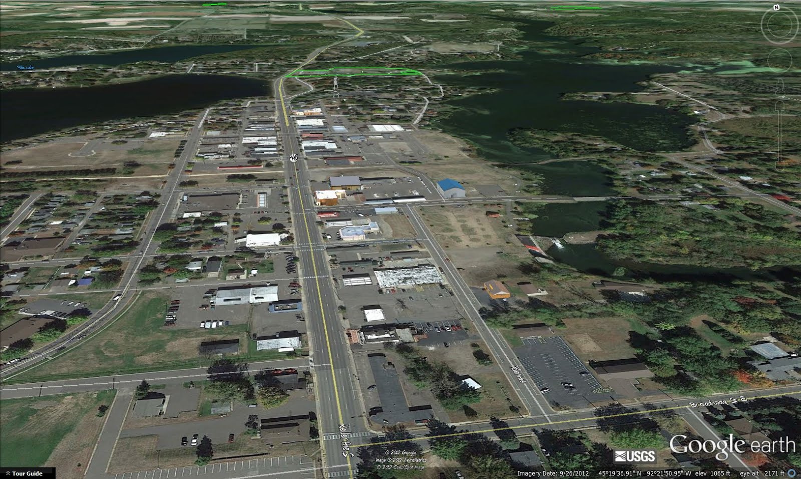
The new imagery looks fantastic! And is a welcomed, dramatic change, from the way it looked when I started in Amery. For example, the new Soo Line Trailhead Pavilion is now visible, where previously it was not built yet.

Combined with Google Earth 7's new high accuracy terrain models, Virtual Amery is looking very good these days. All this should inspire me to build a few more buildings for Google Earth. Stay tuned!
No comments:
Post a Comment